UN
Highfield
£ 786,050
Description
We don't have a Description for this property.
- Bedrooms
- 5
- Bathrooms
- 0
- Sqft
- 2,286.00
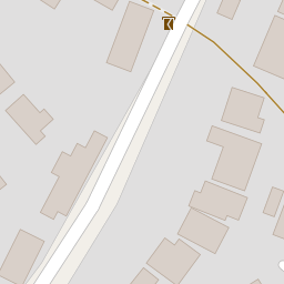
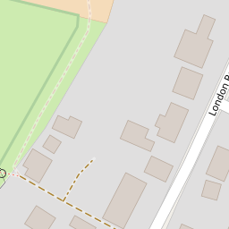
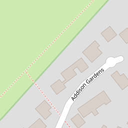
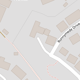

Leaflet © OpenStreetMap contributors
The heatmap indicates the level of crime in the area. The color of the heatmap indicates the crime severity and recency.
Metrics Year-on-Year
- Average area value
- 220,958.00 £Increased by 13.54 %
- Est sale value
- 546,354.00 £Increased by 14.35 %
- Average area rental value
- 984.00 £/moIncreased by 7.31 %
- Est letting value
- 2,286.00 £/mo
- Est rental Yield
- 5.34 %Decreased by 5.49 %
- Crime Rate
- 45.00 %Unchanged by 0.00 %
from 194,601.00 £
from 477,774.00 £
from 917.00 £/mo
from 0.00 £/mo
from 5.65 %
from 45.00 %
Nearby Schools
| Name | Type | Ofsted | Distance |
|---|---|---|---|
| Mayhill Junior School | Community School | Good | 0.89 KM |
| Wisteria Children'S Centre | Children's Centre Linked Site | 0.90 KM | |
| Buryfields Infant School | Community School | Good | 0.95 KM |
| Robert May'S School | Academy Converter | Good | 2.19 KM |
| Hook Infant School | Community School | Outstanding | 4.00 KM |
Images
Nearby Streets
| Name | Average Price | Average Sqft | Distance |
|---|---|---|---|
| Eleanor Walk | £ 0 | 0 | 0.00 KM |
| Seymour Place | £ 0 | 0 | 0.00 KM |
| Hatchwood House | £ 0 | 0 | 0.00 KM |
| Ralph Court | £ 0 | 0 | 0.00 KM |
| South Ridge | £ 395,000 | 0 | 0.00 KM |
Nearby Transport
| Name | NLC | TLC | Distance |
|---|---|---|---|
| Hook | 5523 | HOK | 4.01 KM |
| Winchfield | 5528 | WNF | 4.23 KM |
Nearby Listings
| Address | Price | Type | Score | Distance |
|---|---|---|---|---|
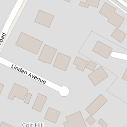
| Colt Hill, Odiham, Hook, RG29 | £ 800,000 | BUY | 6 / 10 | 0.01 KM |
| Colt Hill, Odiham, Hampshire | £ 1,200,000 | BUY | Unknown | 0.04 KM |
| Colt Hill, Odiham, Hook, RG29 | £ 785,000 | BUY | 7 / 10 | 0.08 KM |
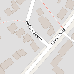
| Addison Gardens, Odiham, Hook, RG29 | £ 595,000 | BUY | Unknown | 0.19 KM |
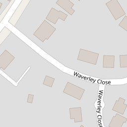
| Waverley Close, Odiham | £ 795,000 | BUY | 7 / 10 | 0.20 KM |
Nearby Properties
| Address | Price | Distance |
|---|---|---|
| Vallis House | £ 680,000 | 0.00 KM |
| Sunray | £ 499,999 | 0.00 KM |
| Glynde | £ 520,000 | 0.00 KM |
| Highfield | £ 786,050 | 0.00 KM |
| Mayfield House | £ 630,000 | 0.00 KM |